De – 1000 à l’an 1 (p. 47)
<< Retour
Iconographie en bas de page
Bibliographie détaillée
- Aliquot Julien, « Le gouverneur et le juriste : l’inscription de Béryte en l’honneur du consulaire Appius Alexander », Cahiers du Centre Gustave Glotz, vol. 26, 2015. p. 191-198.
- Al-Saad, Lamia, « Béryte, nourrice des cités », L’Orient littéraire, 29 septembre 2023.
- Andaroodi, Elham et al., « Re-study of the Structure of the Istakhr City in Fars during the Sassanid Period and its Changes in the Early Islamic Periods », Pazhoheshha-ye Bastan Shenasi Iran, vol. 12, n° 34, 2021.
- Boardman, John, Dorig, Jose, Fuchs, Werner, Hirmer, Max, The Art and Architecture of Ancient Greece, Thames and Hudson, 1967.
- Böck, Barbara, « Nebuchadrezzar : the builder king of Babylon », National Geographic, décembre 2018.
- Cartwright, Mark, « Food in the Roman World », World History Encyclopedia, 6 mai 2014.
- Catherine Saliou, Le Proche-Orient : De Pompée à Muhammad, ier s. av. J.-C. – viie s. apr. J.-C., Belin, 2020.
- Daniels, Patricia S., « L’Empire maurya, la puissance oubliée de l’histoire indienne », National Geographic, 12 octobre 2022.
- Duchêne, Roger et Contrucci, Jean, Marseille : 2 600 ans d’histoire, Fayard, 1998.
- Hanson, John W. et al., « Urban Form, Infrastructure and Spatial Organisation in the Roman Empire », Antiquity, vol. 93, n° 369, juin 2019.
- Hitchcock, Louise A., « Mycenaean Architecture », in Eric H. Cline (éd.), The Oxford Handbook of the Bronze Age Aegean, 2012.
- Jameson, Michael H. et al., « Religion in the Athenian Democracy », Cults and Rites in Ancient Greece : Essays on Religion and Society, Cambridge : Cambridge University Press, 2014.
- Jasmin, Michaël, Histoire de Jérusalem, Presses universitaires de France, 2018.
- Karimian, Hassan, « Cities and Social Order in Sasanian Iran – the Archaeological Potential », Antiquity, 2010.
- Kaul; S., « Regional study: Pataliputra », dans Benjamin, C. (éd.), The Cambridge World History, Volume 4: A World with States, Empires and Networks 1200 BCE–900 CE, Cambridge University Press; 2015, p. 514-536.
- La Rédaction de National Geographic, « After Alexander the Great’s death, this Indian empire filled the vacuum », National Geographic, 4 octobre 2022.
- La Rédaction de National Geographic, « Ashoka, l’empereur indien passé de la conquête à la non-violence », National Geographic, non daté.
- La Rédaction de National Geographic, « Mauryan Empire », National Geographic, 19 octobre 2023.
- Musée d’Histoire de Marseille, « Le Port Antique », MHM, 2024.
- Rof, Gilles, « L’histoire de la création de Marseille revisitée », Le Monde, 17 décembre 2019.
- Service patrimoine de la Ville de Bourges, « Histoire de Bourges », textes de l’exposition permanente, 2024.
- Shah, Bipin, Ambapali of Vaishali, Buddha of Kapilvastu and Kings of Their Time, 2020.
- Simpson, St John, « Sasanian Cities : Archaeological Perspectives on the Urban Economy and Built Environment of an Empire », 2017.
- Storey, Glenn R., « Regionaries-Type Insulae 2 : Architectural/Residential Units at Rome », American Journal of Archaeology, vol. 106, n° 3, 2002.
- Storey, Glenn R., « The ‘Skyscrapers’ of the Ancient Roman World », Latomus, vol. 62, n° 1, 2003, p. 3-26.
- Storey, Glenn R., « The Meaning of ‘Insula’ in Roman Residential Terminology », Memoirs of the American Academy in Rome, vol. 49, 2004.
- Willey, Gordon R. et Demitri B. Shimkin, « The Collapse of Classic Maya Civilization in the Southern Lowlands : A Symposium Summary Statement », Southwestern Journal of Anthropology, vol. 27, n° 1, 1971.
- Yegül, Fikret et Favro, Diane, « Urban Design and Architecture in Rome and Italy during the Republic and the Early Empire », Roman Architecture and Urbanism : From the Origins to Late Antiquity, Cambridge University Press, 2019.
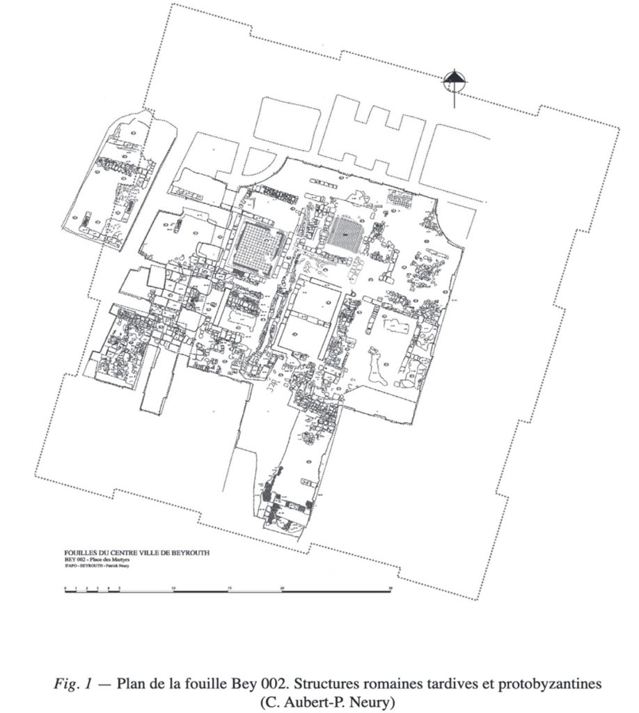
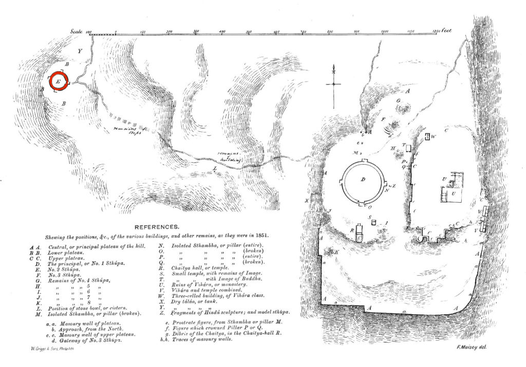
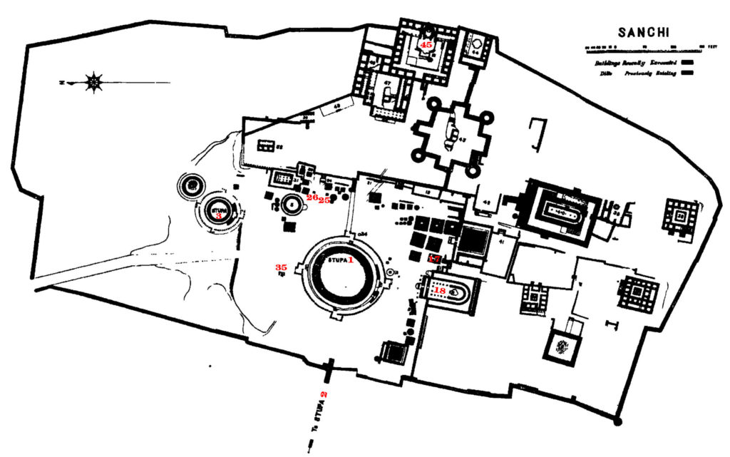
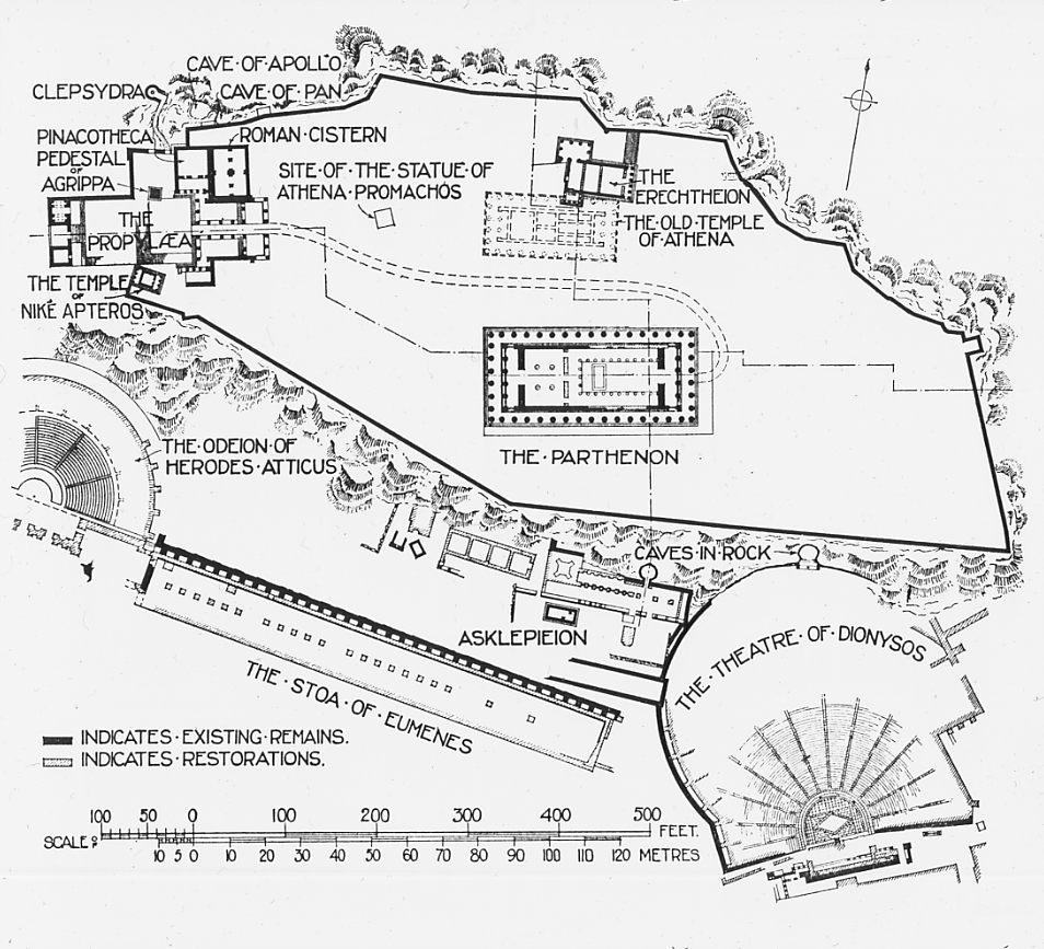
Iconographie
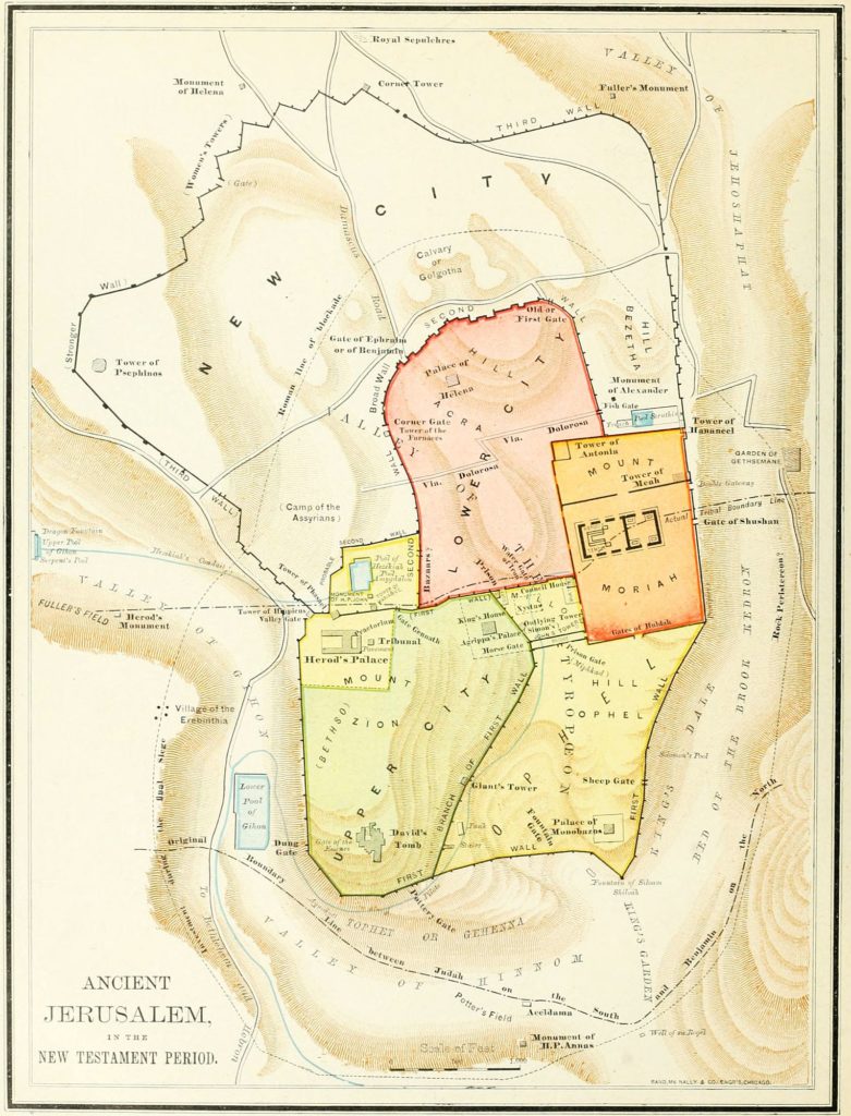
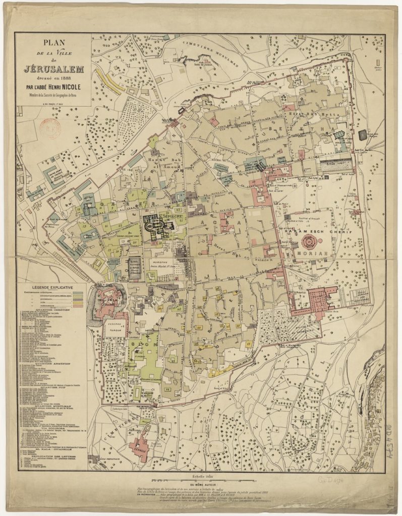
Représente la ville fortifiée à l’époque biblique et sous l’Empire romain après le roi Hérode, avec le Temple sur le mont Moriah, les villes haute et basse, la colline du Calvaire, la Via Dolorosa, le palais de Harrods et bien d’autres choses encore. Elle est en très bon état, avec un très léger jaunissement dû à l’âge.
