De 1620 à 1780 (p. 147)
<< Retour
Iconographie en bas de page
Bibliographie
- Ahmed, H. F. et Kamel, B., « Cairo : Three Cities, Three Periods, Three Maidans », Built Environment, vol. 22, 1996, p. 104-123.
- Al-Hasani, Mohammed K., « Urban Space Transformation in Old City of Baghdad – Integration and Management », 2013.
- Bielza de Ory, Vicente, « De la ciudad ortogonal aragonesa a la ciudad cuadricular hispanoamericana como proceso de innovación-difusión, condicionado por la utopía », Scripta Nova, Revista electrónica de geografía y ciencias sociales, vol. 6, n° 106, 2002.
- Bigon, Liora, « Urban Planning, Colonial Doctrines and Street Naming in French Dakar and British Lagos, c. 1850-1930 » Urban History, 2009.
- Bulut, Mehmet, « The Ottomans and Western Europeans during the Mercantilist Times : Neutrality, Trade, Competition and Conflict », Journal of Al-Tamaddun, vol. 15, 2020.
- Chergui, Samia, Le waqf et l’urbanisation d’Alger à l’époque ottomane, Insaniyat, 2009.
- Classen, A. (éd.), Urban space in the middle ages and the early modern age, De Gruyter, 2009.
- Coret, Clélia, Zaugg, Roberto et Chouin, Gérard, « Cities in Africa before 1900. Historiography and Research Perspectives », Afriques, n° 11, 2020.
- Duchêne, Roger et Contrucci, Jean, Marseille : 2 600 ans d’histoire, Fayard, 1998.
- Fourchard, Laurent, « L’histoire urbaine en Afrique : une perspective ouest-africaine », Histoire urbaine, vol. 9, n° 1, 2004.
- Geib, George W., « The Land Ordinance of 1785 : A Bicentennial Review », Indiana Magazine of History, vol. 81, n° 1, 1985.
- Global Urban History Project, « Detroit : Capital of the Automotive Age », Global Urban History, 2015.
- Goerg, Odile, « Construction de sociétés urbaines en Afrique », Le Mouvement Social, vol. no 204, n° 3, 2003, p. 3-16.
- Hadjri, Karim et Osmani, Mohamed, « The spatial development and urban transformation of colonial and postcolonial Algiers », Loughborough University, 2004.
- Harris, Dustin, « Constructing Dakar : Assimilation, Association and Power in French African Urban Development », The Graduate History Review, vol. 1, 2009.
- Hassell, James, « The Planning of St. Petersburg », The Historian, vol. 36, n° 2, 1974.
- Hoeflich, Michael H., « St. Thomas More and His Utopia in Antebellum American Lawyer’s Thought », UTOPIA500, 2016.
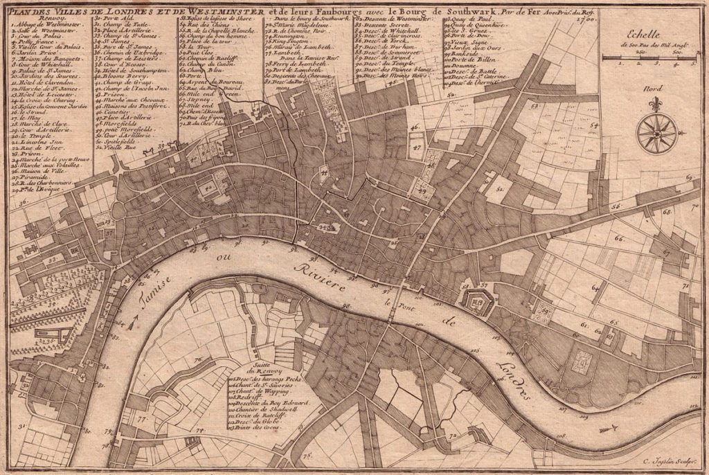
- Keene, D., Growth, modernisation and control : The transformation of London’s landscape, c. 1500-1760, Proceedings of the British Academy, 2002.
- Koohafkan, Parviz, « The Remarkable History of Polder Systems in the Netherlands », Food and Agriculture Organisation of the United Nations, 2010.
- Krumenacker, Yves (éd.), Entre calvinistes et catholiques. Presses universitaires de Rennes, 2010.
- Lagae, Johan, « Kinshasa. Tales of the tangible city », ABE Journal, vol. 3, 2013.
- Luz, Nimrod, The Mamluk City in the Middle East : History, Culture, and the Urban Landscape. Cambridge University Press, 2014.
- Maarten Bosker, Erik et al., « From Baghdad to London : The Dynamics of Urban Growth in Europe and the Arab World, 800-1800 » SSRN Electronic Journal, RELX Group, 2008.
- Musée des Arts Décoratifs de Paris, « Petite histoire de l’affichage », site internet du Musée des Arts Décoratifs de Paris, 2024.
- Ndeda, Mildred A. J., « Population movement, settlement and the construction of society to the east of Lake Victoria in precolonial times : the western Kenyan case », Les Cahiers d’Afrique de l’Est, n° 52, 2019.
- Nelson, David, « Defining the Urban : The Construction of French-Dominated Colonial Dakar, 1857-1940 », Réflexions Historiques, vol. 33, n° 2, 2007, p. 225-55.
- Raymond, André, Le Caire, Fayard, 1993.
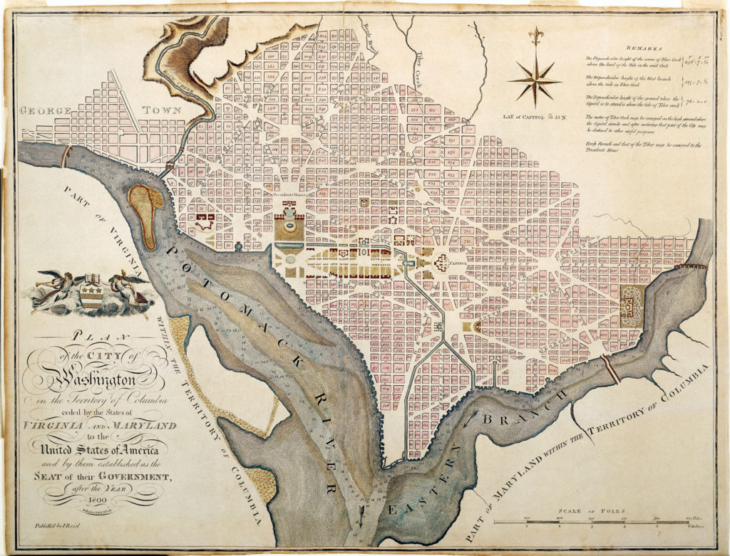
- Reps, John William, The Making of Urban America : A History of City Planning in the United States. Princeton University Press, 1965.
- Rozman, Gilbert, « Edo’s Importance in the Changing Tokugawa Society », Journal of Japanese Studies, vol. 1, n° 1, 1974.
- Saget, Angélique, « Les trésors de Bourges, ville d’art et d’histoire, » Connaissance des Arts, 11 décembre 2023.
- Segeren, W.A. et al., Keynotes International Symposium Polders of the World, Lelystad, the Netherlands, 1982.
- Sementsov, S. V., « Spatial and structural features of St Petersburg architecture in the 18 th century : Transition from wood to brick », dans Mascarenhas-Mateus et Pires, Paula (éd.), History of Construction Cultures, 2021.
- Service patrimoine de la Ville de Bourges, « Histoire de Bourges », textes de l’exposition permanente, 2024.
- Shankar, Pratyush, « Colonial Cities », History of Urban Form of India : From Beginning till 1900’s, Oxford Academic, 2023.
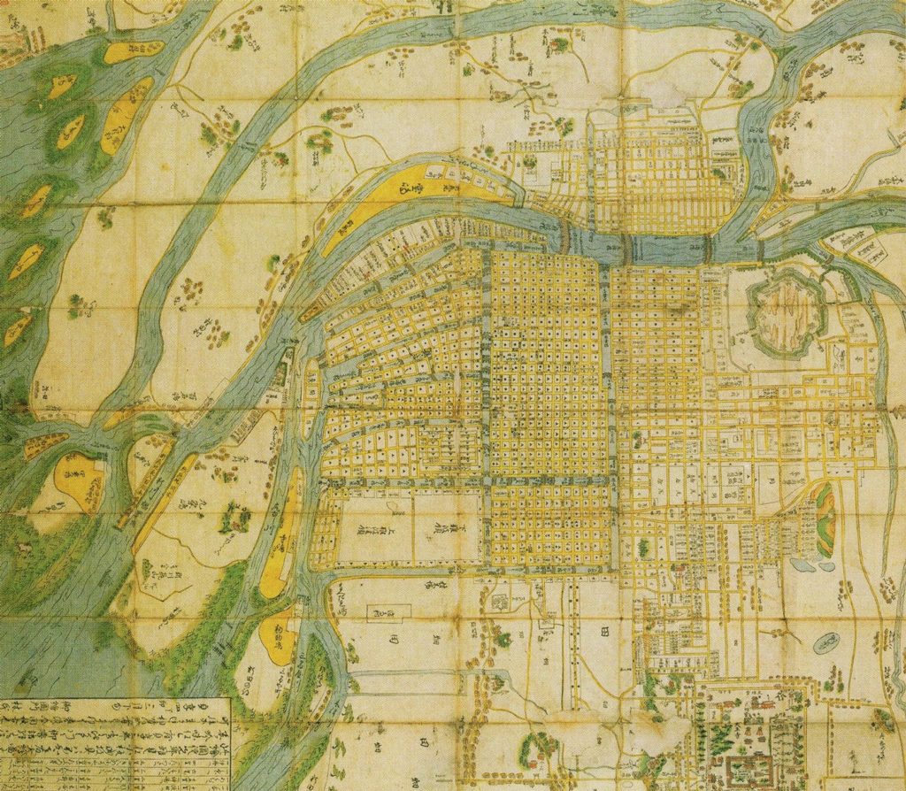
- Tsukada, Takashi, « The Urban History of Osaka », City, Culture and Society, vol. 3, n° 1, 2012.
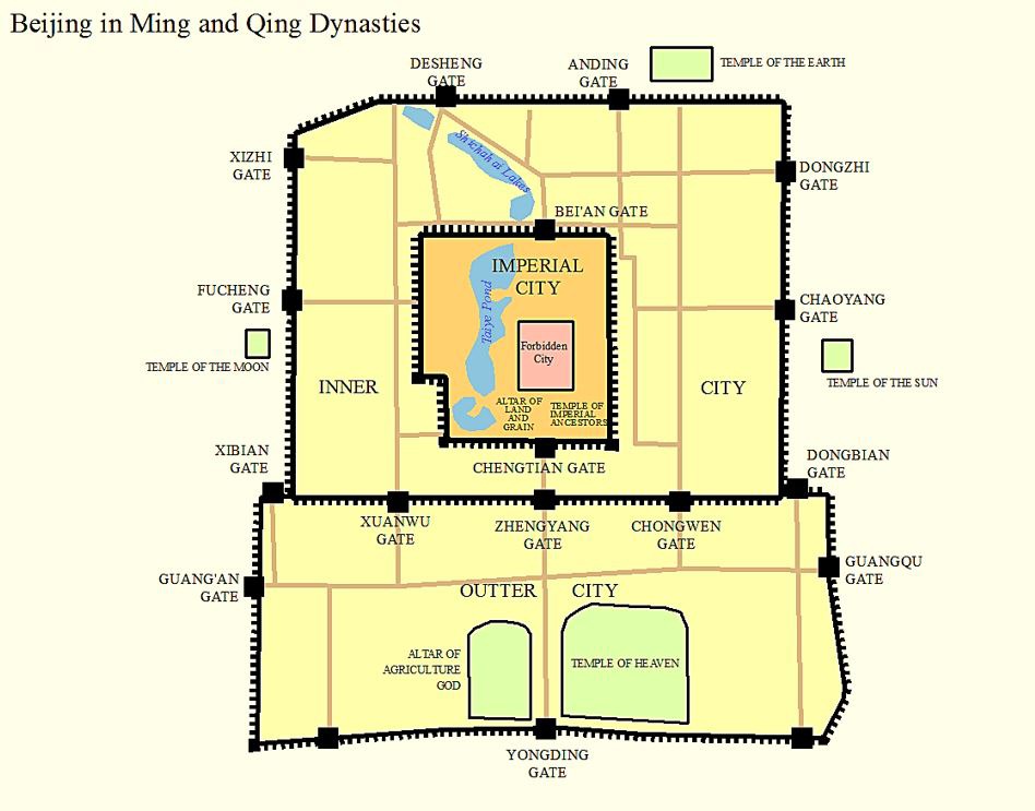
- Xu, Yi, Van Leeuwen, Bas et Van Zanden, Jan Luiten, « Urbanization in China, c. 1100-1900 », Frontiers of Economics in China, vol. 13, 2018.
Iconographie
- Plans de Paris en 1700 et 1790. Atlas Historique de Paris, Michel Huard, 2010 (Source)
